Severe Thunderstorm Watch issued October 21 at 1:36PM MST until October 21 at 9:00PM MST by NWS Phoenix AZ
Regional information
Regional notice: Gila
Regional notice: Maricopa
Regional notice: Pinal
THE NATIONAL WEATHER SERVICE HAS ISSUED SEVERE THUNDERSTORM WATCH 689 IN EFFECT UNTIL 9 PM MST THIS EVENING FOR THE FOLLOWING AREAS IN ARIZONA THIS WATCH INCLUDES 3 COUNTIES IN EAST CENTRAL ARIZONA GILA IN SOUTH CENTRAL ARIZONA MARICOPA IN SOUTHEAST ARIZONA PINAL THIS INCLUDES THE CITIES OF APACHE JUNCTION, CACTUS FOREST, CASA GRANDE, ELOY, FLORENCE, JAKES CORNER, KOHLS RANCH, MESA, PAYSON, PHOENIX, PUNKIN CENTER, RYE, STAR VALLEY, AND TONTO VILLAGE.
Park is open year-round Trails 6 a.m. - 8:00 p.m. Day Use Gates are closed and locked from 8 p.m. - 6 a.m. daily. Visitor Center/Park Store Mon.- Thurs: 6 a.m. - 5 p.m. Fri.- Sun.: 6 a.m. - 7 p.m. (hours may vary)
Entry fees
Per vehicle (1 person): $10.00 Per vehicle (2-4 people): $20.00 Individual/bicycle: $5.00 Only cash, Visa, or MasterCard with a readable stripe accepted. (No chip reader, manual entry, tap, Apple cash, Google pay, Fitbit pay, other credit card providers, or other payment methods currently accepted at this time). Please bring exact change cash for the self pay station after hours.
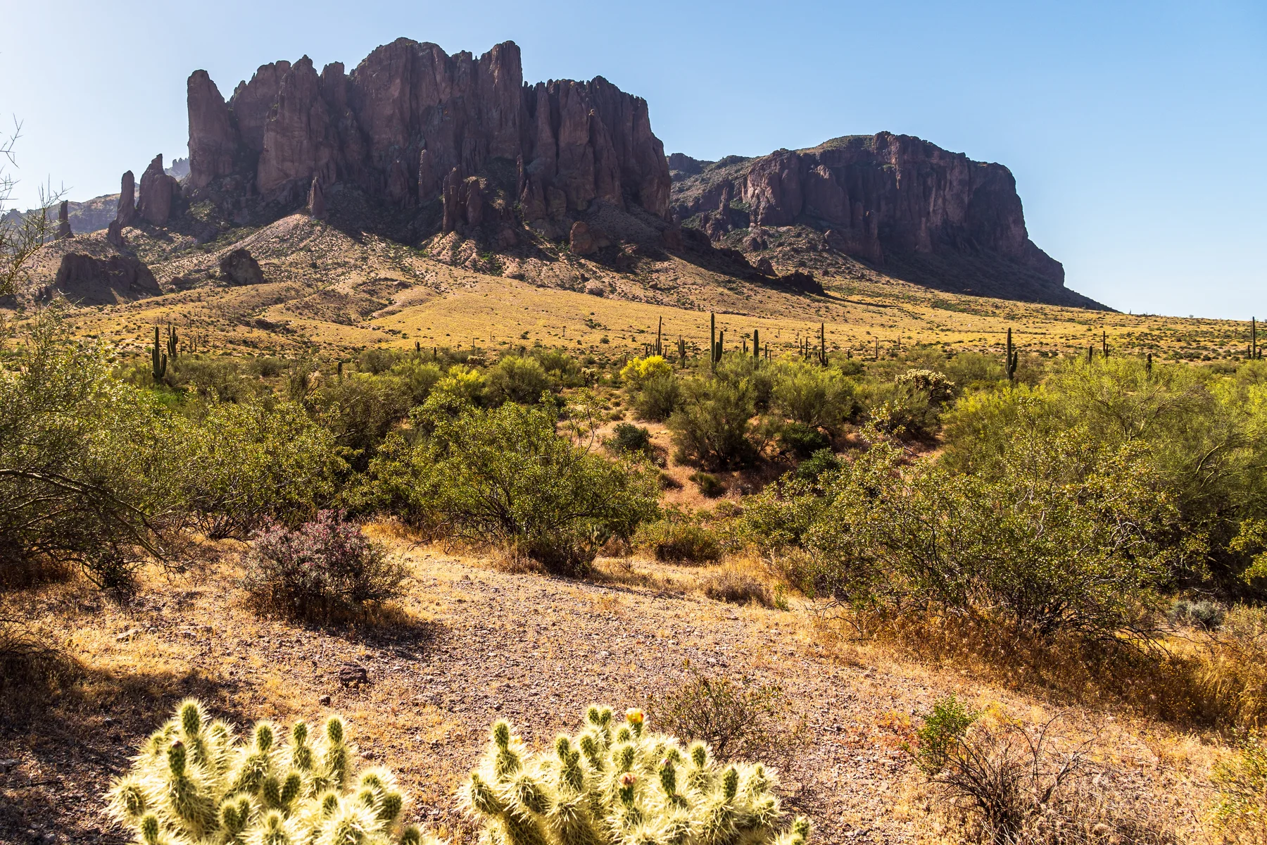
At the base of the Superstition Mountains, Lost Dutchman offers desert trails, campsites and views across a saguaro-dotted landscape. Routes range from park paths to connections into the surrounding Tonto National Forest; check the entry rules before arranging a drop-off.
Recorded from park sources. Availability and restrictions may vary by season or visitor area.
Mapped hiking trails.
OpenStreetMap routes that intersect recorded park boundaries. Distances cover each route’s mapped Arizona portion, which may extend beyond this park. Check official maps and current access rules.
Park facts and notices are checked separately. Missing facility information does not mean a facility is absent. Official visitor page checked Oct 21, 2026.