Arizona ParksMORE OUTSIDE. CLOSER TO HOME.

Usery Mountain Regional Park

Maricopa · Maricopa County Parks and Recreation

BEFORE YOUR VISIT
Visitor advisoryWeather

Severe Thunderstorm Watch issued October 21 at 1:36PM MST until October 21 at 9:00PM MST by NWS Phoenix AZ

Regional information

  • Regional notice: Gila
  • Regional notice: Maricopa
  • Regional notice: Pinal

THE NATIONAL WEATHER SERVICE HAS ISSUED SEVERE THUNDERSTORM WATCH 689 IN EFFECT UNTIL 9 PM MST THIS EVENING FOR THE FOLLOWING AREAS IN ARIZONA THIS WATCH INCLUDES 3 COUNTIES IN EAST CENTRAL ARIZONA GILA IN SOUTH CENTRAL ARIZONA MARICOPA IN SOUTHEAST ARIZONA PINAL THIS INCLUDES THE CITIES OF APACHE JUNCTION, CACTUS FOREST, CASA GRANDE, ELOY, FLORENCE, JAKES CORNER, KOHLS RANCH, MESA, PAYSON, PHOENIX, PUNKIN CENTER, RYE, STAR VALLEY, AND TONTO VILLAGE.

Oct 21, 2026 – Oct 21, 2026

PLAN YOUR VISIT

The practical details.

Managing agency
Maricopa County Parks and Recreation
Address
3939 N. Usery Pass Rd. Mesa, AZ 85207
Telephone
(602) 506-2930 ext 4
Hours
May 1 to October 31 - 5 am to 9 pm daily / November 1 to April 30 - 6 am to 8 pm daily
Official park information

We have not yet verified entry fees, accessibility details. Confirm these with the managing agency before traveling.

Check notice timestamps and official updates. Conditions can change between source checks.

About Usery Mountain Regional Park

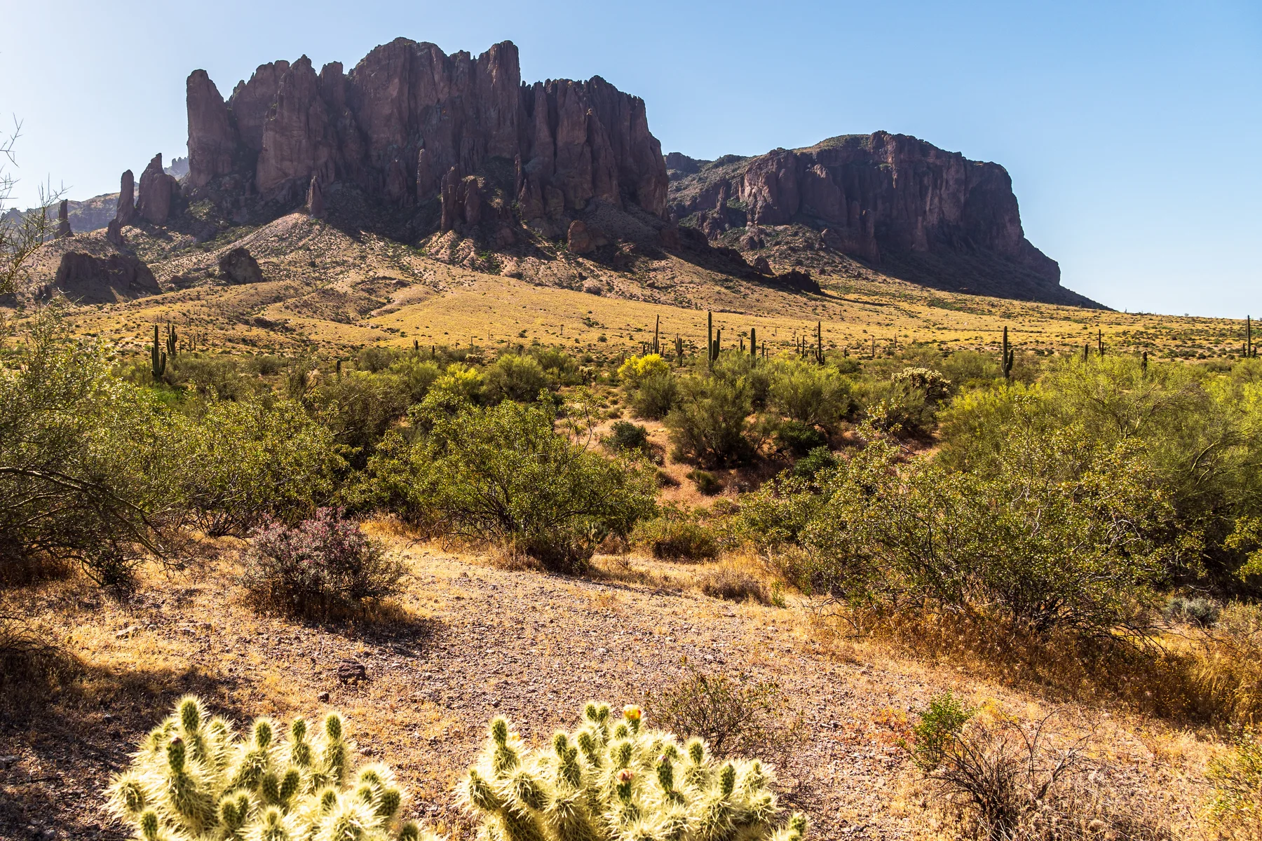
Usery Mountain Regional Park sits at the western edge of the Goldfield Mountains beside Tonto National Forest. The Wind Cave Trail reaches an alcove on Pass Mountain, while the surrounding desert supports varied plants and wildlife.

Activities & facilities

Recorded from park sources. Availability and restrictions may vary by season or visitor area.

Mapped hiking trails.

OpenStreetMap routes that intersect recorded park boundaries. Distances cover each route’s mapped Arizona portion, which may extend beyond this park. Check official maps and current access rules.

All mapped hiking routes ↗

Trail data © OpenStreetMap contributors · ODbL

Find your way.

Loading map…

Map points represent park land, not verified visitor entrances. Follow the managing agency’s entrance directions. Tiles © OpenStreetMap contributors.

This point represents park land, and may not be a public entrance. Follow official entrance directions.

Official visitor information & directions ↗

Read before you roam.

Sources & verification

Park facts and notices are checked separately. Missing facility information does not mean a facility is absent. Official visitor page checked Oct 21, 2026.

Suggest a correction · Markdown version